

Port of Puerto De Garrucha (ES GAR)
UN/LOCODE
ES GAR
Harbor size
Very small
Nearest city
Garrucha
Body of water
Mediterranean Sea; North Atlantic Ocean
Spain
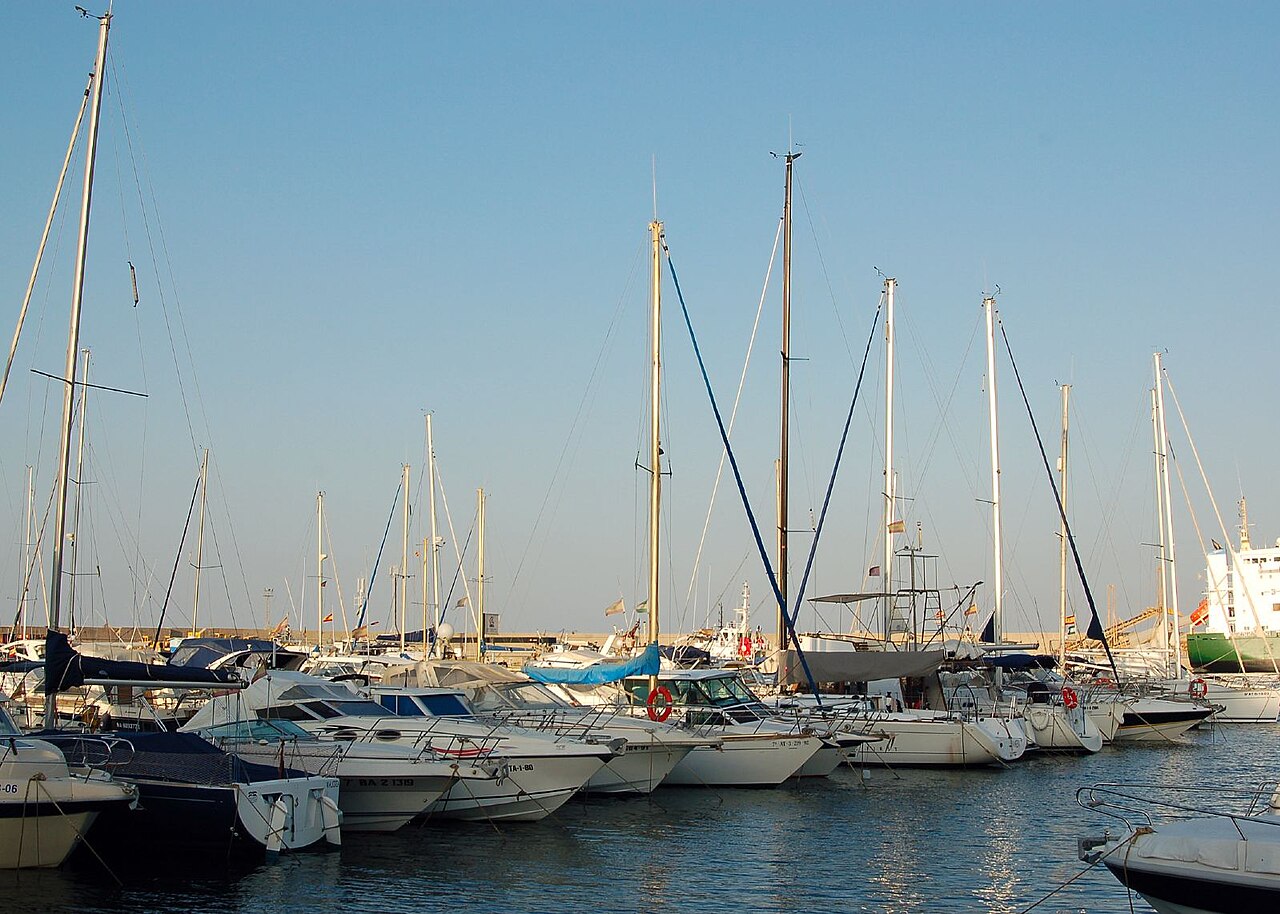 © Emilio del Prado from Valladolid, Spain, España · CC BY-SA 2.0
Port information
- Coordinates
- 37.1833, -1.8167 (37°11′N 1°49′W)On the map
Harbor
- Harbor type
- Coastal, breakwater
- Shelter
- Fair
- Anchorage depth
- 23.2 m
- Cargo pier depth
- 7.9 m
Services
Pilotage compulsory: Yes
Pilotage available: Yes
Tug assistance: Yes
Repairs: Limited
Medical facilities: Yes
Nearest airport: Yes
Cranes
Fixed crane
Supplies
Fuel oil
Fresh water
Diesel fuel
Puerto De Garrucha operates as a working harbor in Spain, linked to regional and international trade routes. A Very small harbor laid out as Coastal, breakwater sets the scale of operations at Puerto De Garrucha. Cargo moving through Puerto De Garrucha typically connects onward through Garrucha.
Frequently asked questions
- Where is the port of Puerto De Garrucha located?
- Puerto De Garrucha is a seaport in Spain, near Garrucha.
- What is the UN/LOCODE of Puerto De Garrucha?
- The UN/LOCODE for Puerto De Garrucha is ES GAR.
Nearby ports
- Puerto De Carboneras Spain 21 km
- Aguilas Spain 33 km
- Hornillo Spain 34 km
- Almeria Spain 70 km
- Cartagena Spain 86 km
- Islas Hormigas Spain 115 km
- Adra Spain 119 km
- Torrevieja Spain 133 km
Distance to major hubs
- Shanghai China 10399 km
- Singapore Singapore 11304 km
- Rotterdam Netherlands 1710 km
- Los Angeles USA 9750 km
- Mina Jabal Ali United Arab Emirates 5499 km
- Hamburg Germany 2033 km
- Santos Brazil 8241 km
- Durban South Africa 8207 km
Evaluate the value of your shipment in an instant
The calculation includes customs clearance, cleaning, excise taxes, VAT, customs tariffs, insurance